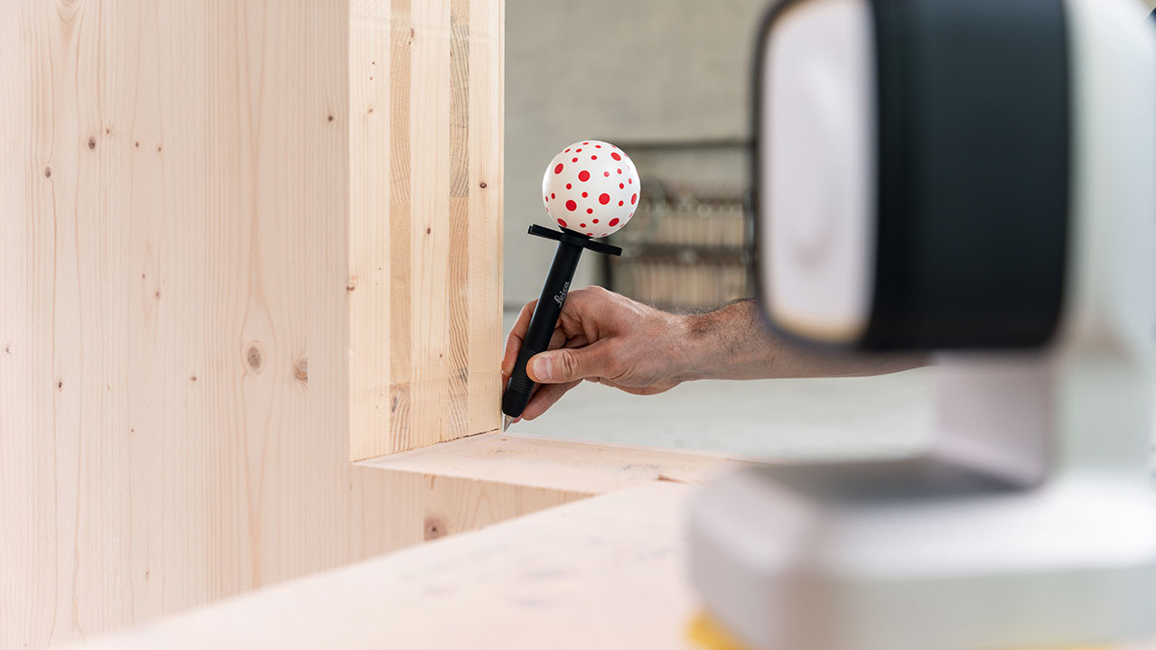
Construction isn’t just about accurate measurement; it’s also about what happens to the measurement data afterward. If that information can be used directly for work planning, production, and execution, it can reduce the need for manual data transfer, adjustments, and corrective work. At BouwBeurs 2027, Leica Geosystems will demonstrate how digital surveying, 3D scanning, and automation come together in this process.
From Surveying to Production
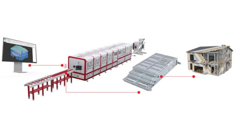
GNSS receivers and total stations are used to determine and stake out positions, from construction sites and grids to finishing work. With Leica iCON Trades, construction professionals can survey existing conditions and stake out design data with millimeter precision. The measurement data can also be processed into files for CNC machines, allowing components to be custom-manufactured in advance. This reduces the need for on-site fitting and cutting and can speed up assembly.
“A measurement becomes more valuable when the data can be used immediately for the next step,” says Arno Kijzerwaard, Field Marketing Manager at Leica Geosystems. “If information doesn’t have to be re-entered over and over again, the chance of errors decreases and fewer adjustments need to be made on site.”
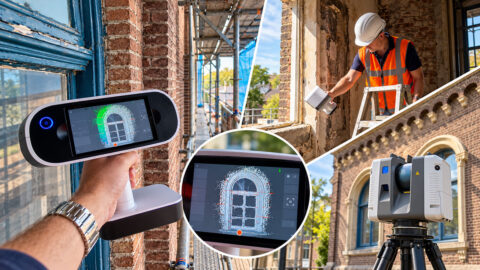
Using 3D laser scanning and mobile mapping, buildings and sites can be digitally documented. The resulting 3D point clouds provide insight into the existing conditions and can be used for renovation, work planning, and inspection of the completed work, among other things.
From Design to Construction
When laying out metal-stud walls, lines are typically measured manually on the floor and marked with a chalk line. When used with a Leica Robotic Total Station, HP SitePrint automatically converts digital CAD data into lines, arcs, and points on the floor. This saves the layout technician from repetitive bending and manual staking out. The installation crew can get to work immediately using the printed lines.
“Customers tell us that the printing robot not only saves time but also makes the surveyor’s work physically less strenuous,” says Kijzerwaard. Accurate transfer from design to construction also helps identify deviations earlier and minimize corrective work.
At BouwBeurs 2027, Leica Geosystems will showcase these applications, and visitors will have the opportunity to speak with specialists about the possibilities for their own construction projects.
You’ll find Leica Geosystems in Hall 12, Booth D040